Snowshoe routes, reported from the ground
Field reports · five sectors · updated route by route
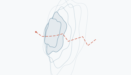
Twenty snowshoe routes across five sectors of the northeast, each written up from a recorded trip rather than a guidebook: how to reach the trailhead, what the line actually does, what to carry, and what can go wrong. Pick a sector on the sketch map, or search the index.
Sectors 5 · 18 routes
Laurentides
The Laurentian shield north of Montreal, where rounded gneiss domes collect a deep, wind-packed snowpack from December into April. Trailheads sit between 300 m and 500 m, so the base here usually runs 20-40 cm deeper than the St. Lawrence valley floor. Mixed hardwood below 600 m, black spruce and balsam fir above.
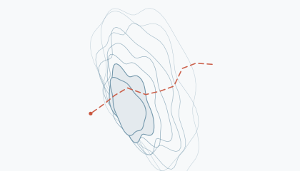
- Mont Condor Lookout RouteMont-Tremblant Massif · Moderate 6.2 km · 285 m · 3.5 h
- Frost Hollow TraverseVal-David Forest Roads · Moderate 7.8 km · 205 m · 4 h
- Le Centennial Ridge RouteMont-Tremblant Massif · Challenging 9.6 km · 430 m · 5 h
- P'tit Train du Nord Northbound CorridorVal-David Forest Roads · Easy 12.4 km · 90 m · 4 h
Adirondack High Peaks
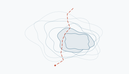
New York's 46 High Peaks sit inside a state constitutionally protected forest preserve, which is why the access roads stay unplowed and the trailheads are further from the road than almost anywhere else in the northeast. Snowpack runs continental: dry, faceted, and prone to persistent weak layers on north aspects.
White Mountains
New Hampshire's Presidential and Carter ranges generate their own weather, and the notch roads that reach them are the windiest plowed corridors in the northeast. Above treeline the snow is stripped and re-deposited into slabs; below it, sheltered valleys hold some of the deepest snow in the eastern United States.
Gatineau Park
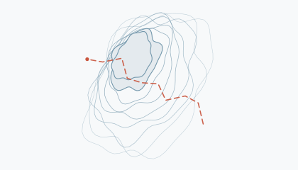
A 361 km² federal park inside the Ottawa commuter belt, which makes it the most heavily winter-used terrain in this guide. The park grooms about 200 km of ski trails and leaves the rest to snowshoers; the Eardley escarpment gives it 200 m of relief in a single step.
Algonquin Park
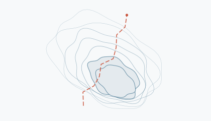
Ontario's 7,653 km² interior park, sitting on the transition between Great Lakes-St. Lawrence forest and boreal forest. Highway 60 is the only plowed access, which leaves everything beyond it as a genuine winter backcountry. Snow depth on the interior lakes peaks near 90 cm in late February.
Latest reports
The most recent reports added to the guide, newest first. Everything else appears on its own date.
- La Peche Ridge LinkGatineau Park · 7.2 km · 79 cm base
- St. Regis Portage LineAdirondack High Peaks · 10.6 km · 91 cm base
- Track and Tower Trail LineAlgonquin Park · 7.7 km · 81 cm base
- Luskville Ridge LoopGatineau Park · 6.8 km · 64 cm base
- Tuckerman Ravine Base LineWhite Mountains · 7.6 km · 132 cm base
2 further reports are written and scheduled; they appear here on their own dates.